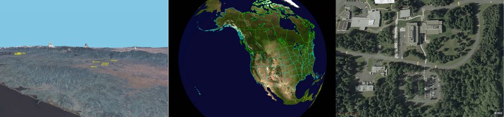
I found a great piece of software. At http://worldwind.arc.nasa.gov/ you can download WorldWind, which is a program that allows you scan the globe and zoom in with the use of sattelite pictures. Too bad the Netherlands aren't available in high resolution yet, but there's a lot of other stuff to play with. In the left picture there is a relief scan of the Oregon coast and Portland and the right picture shows my lab. That's how close you can get! There are also a lot of add-ins available that give you the same effects of al the planets and the moon! ANd now for the best part; IT'S FREE! So go check it out, it garantuees you some playtime...

No comments:
Post a Comment